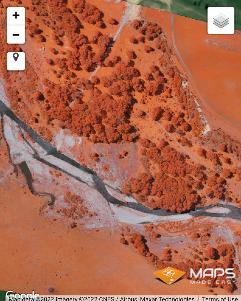
An aerial photograph, in broad terms, is any photograph taken from the air. Normally, air photos are taken vertically from an aircraft using a highly-accurate camera. There are several things you can look for to determine what makes one photograph different from another of the same area including type of camera, scale, and overlap. Other important concepts used in aerial photography are stereoscopic coverage, fiducial marks, focal length, roll and frame numbers, and flight lines and index maps.
Aerial Photography that we use is the process of taking photographs from a flying drone. Our images are used for many purposes such as creating data to be used in a geographic information system (GIS), analysis of land forms and topography, forest inventory interpretation, 3D analysis, change detection and to identify and map man-made features.